Glendale, California Zip Codes
Glendale is a city in Los Angeles County between Burbank and Pasadena, at the foot of the Verdugo Mountains.
Glendale ZIP codes in context
This site profiles two Glendale ZIP codes, home to 44,898 residents in all. Their median household incomes are $82,301 and $96,459; the midpoint, $89,380, is 32% above the $67,834 median for Los Angeles ZIP codes on this site.
The widest split inside Glendale is on median age: 44.8 in 91202 against 40.5 in 91201. The ZIPs are most alike on median home value, which only runs from $1,152,000 to $1,194,700.
For buyers, the most attainable Glendale ZIP is 91202, where homes cost 12.4 times median household income; the least is 91201, at 14.0. Neither ZIP is majority owner-occupied; the highest ownership rate is 42%, in 91202.
All Glendale Zip Codes
| ZIP Code | Population | Median household income | Income rank | Median home value | Median rent | Owner-occupied |
|---|---|---|---|---|---|---|
| 91201 | 22,394 | $82,301 | 49th of 95 | $1,152,000 | $2,139 | 33% |
| 91202 | 22,504 | $96,459 | 34th of 95 | $1,194,700 | $2,311 | 42% |
Income rank is among the 95 ZIP codes on this site with full Census data, highest first.
Glendale ZIP Code Map
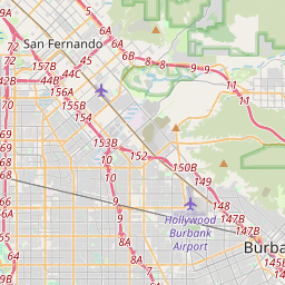
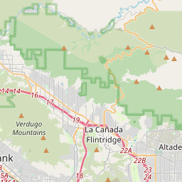
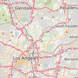
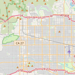
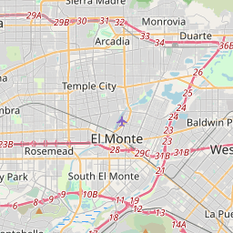


Map of the Glendale, California ZIP codes on this site.
Frequently Asked Questions
Sources and methodology
Figures are U.S. Census Bureau ACS 5-year estimates, 2020-2024 for the ZIP Code Tabulation Area (ZCTA), the Census Bureau's stand-in for a ZIP code. They describe the area over the five-year survey window, not a single year, and small areas carry wider margins of error. Comparisons and ranks are computed on this site from the same figures; the "Los Angeles ZIP median" is the middle value across the Los Angeles ZIP codes here, each counted once.
| Figure | Census table |
|---|---|
| Population | B01003 |
| Median age | B01002 |
| Median household income | B19013 |
| Poverty rate | S1701 |
| Unemployment rate | S2301 |
| Owner / renter share of occupied homes | B25003 |
| Median home value (owner estimate) | B25077 |
| Median gross rent | B25064 |
| Bachelor's degree or higher (age 25+) | S1501 |
| Mean travel time to work | DP03 |
Land and water area come from the Census Bureau's 2020 ZIP Code Tabulation Area geography; density is population ÷ land area. Area codes come from North American Numbering Plan maps and ZIP city names from the USPS. Full field list, formulas and limitations: methodology.